Geospatial tools and landscape modelling for the assessment of food security and climate resilience: Course held in Quito, Ecuador
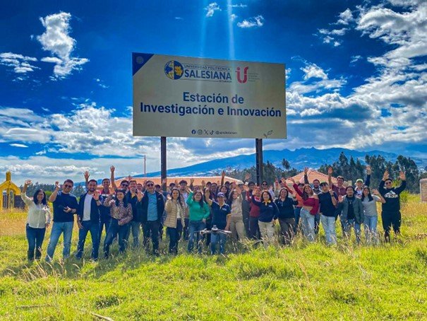
The bilingual course “Herramientas geoespaciales y modelado de paisajes para la evaluación de la seguridad alimentaria y la resiliencia climática” was designed to build skills in geospatial tools for assessing food security and climate resilience. With the support of #CEDIA through the Fondo Avante project to Universidad Politécnica Salesiana and Yachay, the training created a collaborative platform for advancing applied research inEcuador. Dr. Cesar Ivan Alvarez (in person) and Dr. Harison Kipkulei (online) served as the course teachers, sharing their international expertise directly with Ecuadorian researchers. The program covered geospatial data collection, drone-based monitoring, GPS applications, GIS analysis, participatory mapping, crop modelling, and strategies for agricultural resilience. A central element was the module on climate action and participatory resilience, where teachers and participants exchanged experiences, co-designed solutions for local challenges, and emphasized the importance of collaborative approaches.